- GIS and Spatial Analysis
- GIS and Web Gis 2.0
Landscape planning observatory of the Puglia Region (Italy)
© 2008 - design and implementation by Italo Mairo
on behalf of Puglia Region - Regional Landscape Master Plan

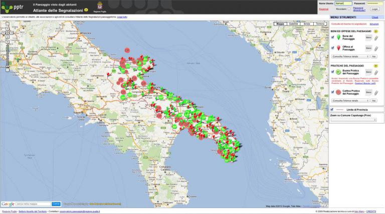
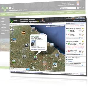
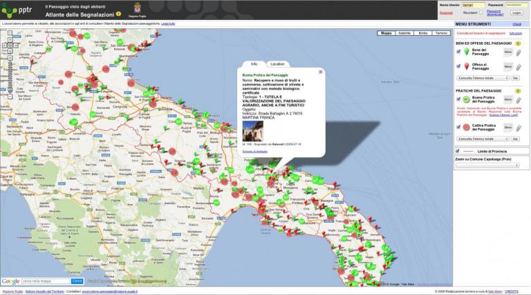
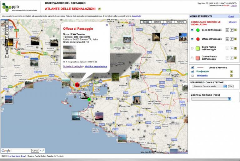
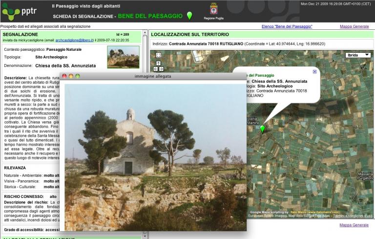
An innovative and shared Geographic Information System, developed according to Web 2.0 standards, as informative support to the creation of new Territorial Landscape Master Plan of the Puglia Region (http://paesaggio.regione.puglia.it/), for the formation of "shared knowledge" in the process of upgrading and enhancement of the Apulian territory. The Observatory is one of the first "Web GIS Application" created in Italy on Web 2.0 standards, with opensource tools (PHP, MySql, Javascript, Ajax, etc.) and enhanced interaction with users. The system leverages Google Maps interactiveness and high customization (Google Maps Mash Up) and allows citizens to enter and manage their own territorial reports (good and bad practices of landscape), along with detailed information and pictures.

